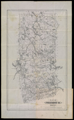
Map of Piscataquis Co. Maine
Collection: Osher Collection
Name: Map of Piscataquis Co. Maine
Barcode: 1288
Creator: J.H. Stuart & Co.
From Atlas: No
Publishing Location: South Paris, ME
Notes: Accompanying folder lists maps available from the publisher and the associated costs of each map.
Publisher: J.H. Stuart & Co.
Date/Date Range Produced: 1895
Date/Date Range Published: 1895
Language: English
Region Depicted: Piscataquis County, Maine
Map Type: Boundary mapsGeographical
Dimensions: 60 x 36 cm., folded to 22 x 9 cm.
Material Type: Paper
LC Call Number: G3733.P5 S7 1895
OCLC: 166421316
Donor: Osher
Subjects: CountiesFishingHuntingJ.H. Stuart & Co.Maine--MapsMountainsPiscataquis County (Me.)Rivers and lakes
Permenant URL: https://oshermaps.org/map/1288.0001; 1288.0002