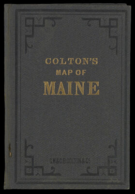
Township Map of the State of Maine With Adjoining Portions of Canada & New Brunswick.
Collection: Osher Collection
Name: Township Map of the State of Maine With Adjoining Portions of Canada & New Brunswick.
Barcode: 1293
Creator: G.W. & C.B. Colton & Co.
From Atlas: No
Publishing Location: New York
Notes: Note: "Published by G.W. & G.B. Colton & Co. New York. 1896." Comes in a blue cover.
Publisher: G.W. & C.B. Colton & Co.
Date/Date Range Produced: 1896
Date/Date Range Published: 1896
Language: English
Region Depicted: MaineNew BrunswickQuébec, Canada
Map Type: GeographicalPolitical maps
Dimensions: 97 x 82 cm.; folds into cover 16 x 10 cm.
Material Type: Paper
LC Call Number: G3734.F7 1896 G6
OCLC: 1004273860
Donor: Osher
Subjects: CountiesG.W. & C.B. Colton & Co.Maine--MapsMountainsNew Brunswick (Canada)QuebecRivers and lakes
Permenant URL: https://oshermaps.org/map/1293.0001; 1293.0002; 1293.0003