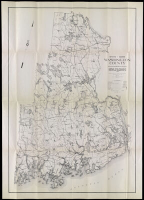
State of Maine Washington County
Collection: Osher Collection
Name: State of Maine Washington County
Barcode: 1481
Creator: Prentiss & Carlisle Co.
From Atlas: No
Publishing Location: Bangor, ME
Notes: Note: "Compiled from Prentiss & Carlisle Co. surveys, U.S.G.S., and Information on File...Paul E. Atwood, Topographer."
Publisher: Prentiss & Carlisle Co.
Surveyor: Atwood, Paul E. (Paul Elliot)
Date/Date Range Produced: 1931
Date/Date Range Published: 1931
Language: English
Region Depicted: Washington County, Maine
Map Type: GeographicalPolitical maps
Dimensions: 81 x 58 cm. folds into cover 23 x 10 cm.
Material Type: Paper
LC Call Number:
OCLC: 86222003
Donor: Osher
Subjects: Geological Survey (U.S.)MaineMaine--MapsPrentiss & Carlisle Co.Washington County (Me.)
Permenant URL: https://oshermaps.org/map/1481.0001; 1481.0002