Collection: Osher Collection
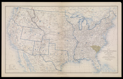
Name: Map of the United States of America, showing the Boundaries of the Union and confederate Geographical Divisions and Departments, Dec. 31, 1860.
Barcode:
Notes:
Date/Date Range Produced:
Date/Date Range Published:
Language:
Dimensions: H 47 x W 75.2 cm
LC Call Number:
OCLC:
Donor:
Permenant URL: