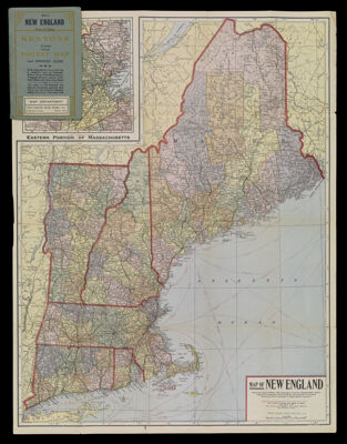
Map of New England Being the states of Maine, New Hampshire, Vermont, Massachusetts, Rhode Island and Connecticut with Population and Location of Principal Towns and Cities, according to the latest reliable statistics
Collection: Osher Collection
Name: Map of New England Being the states of Maine, New Hampshire, Vermont, Massachusetts, Rhode Island and Connecticut with Population and Location of Principal Towns and Cities, according to the latest reliable statistics
Barcode: 3930
Creator: Kenyon Company (Des Moines, Iowa)
Publishing Location: New York
Notes: Inset of the eastern portion of Massachusetts.
Publisher: Kenyon Company (Des Moines, Iowa)
Date/Date Range Produced: 1920
Date/Date Range Published: 1920
Language: English
Region Depicted: ConnecticutMaineMassachusettsNew EnglandNew HampshireRhode IslandVermont
Dimensions: H 60 x W 46 cm
LC Call Number: G3721 .K46 1920
OCLC: 54831699
Donor: Osher
Permenant URL: https://oshermaps.org/map/3930.0001; 3930.0002; 3930.0003