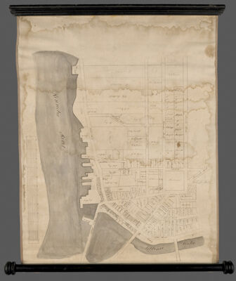
[Plan of part of Gardner Maine]
Collection: Osher Collection
Name: [Plan of part of Gardner Maine]
Barcode: 13247
Creator: Anonymous / Unknown Author
From Atlas: No
Notes: Shows land plots, ownership of land along Kennebec and Cobbossecontee rivers, manuscript map on rollers, 19th century
Date/Date Range Produced: 1840 - 1850
Language: English
Region Depicted: Gardiner, Maine
Dimensions:
Printing Technique: Manuscript
LC Call Number:
OCLC:
Donor: Osher
Permenant URL: https://oshermaps.org/map/13247.0001