Collection: Osher Collection
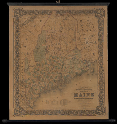
Name: Colton's Railroad and Township Map of the State of Maine with portions of New Hampshire 1856 J.H. Colton
Barcode:
From Atlas:
Publishing Location:
Notes:
Publisher:
Date/Date Range Produced:
Date/Date Range Published:
Language:
Region Depicted:
Map Type:
Dimensions: 96 x 67 cm on sheet 104 x 83 cm
LC Call Number: G3731.P3 1856 C6
OCLC: 1431005962
Donor:
Subjects:
Permenant URL: