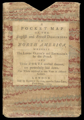
A Pocket Map of the English and French Dominions in North America, wherein the Lands Claim'd and Encroach'd by the French, and Their Forts Erected Thereon, are partciularly laid down. The Whole exhibited at one View in different Colours.
Collection: Osher Collection
Name: A Pocket Map of the English and French Dominions in North America, wherein the Lands Claim'd and Encroach'd by the French, and Their Forts Erected Thereon, are partciularly laid down. The Whole exhibited at one View in different Colours.
Barcode: 40843
Creator: Society of Anti-Gallicans
Notes: This is the slipcase OS-1755-3.1 (oshermaps.org/map/692.0001). Above title is cover title from slipcase. Note: "London: Sold by Robert Sayer, opposite Fetter-Lane, Fleet-Street. 1755."
Publisher: Herbert, William, 1718-1795Sayer, Robert, 1725-1794
Date/Date Range Produced: 1755
Date/Date Range Published: 1755
Language: English
Dimensions: H 17.2 x W 12 cm
LC Call Number:
OCLC: 5412729
Donor: Osher
Permenant URL: https://oshermaps.org/map/40843.0001