[York, Cumberland and Lincoln Counties of colonial Massachusetts extending from Portsmouth to Penobscot River.]
Collection: Osher Collection
Name: [York, Cumberland and Lincoln Counties of colonial Massachusetts extending from Portsmouth to Penobscot River.]
Barcode: 42889
Creator: Small, John, 1723-1761
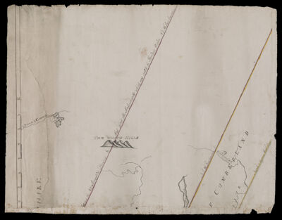
Notes: Title supplied by cataloger.Sheet 1 (upper-left) of a disassembled 4-sheet mapMap indicates county boundaries and the boundary line between "the New Hampshire province & that part of the Massachusetts which was call'd the province Main N.2 W. true course."
Date/Date Range Produced: 1761
Date/Date Range Published: 1761
Language: English
Dimensions: 4 sheets 38 x 50 cm each; total 76 x 98 cm
Printing Process: Engraving
Printing Technique: Manuscript
Material Type: Paper
LC Call Number:
OCLC: 890813302
See Also: [York, Cumberland and Lincoln Counties of colonial Massachusetts extending from Portsmouth to Penobscot River.]
Donor: Osher
Permenant URL: https://oshermaps.org/map/42889.0001; 42889.0002