A New and Accurate Plan of the River St. Laurence, from the falls of Montmorenci to Sillery; with the Operations of the Siege of Quebec. 1763

Collection: Smith Collection

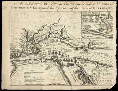
Name: A New and Accurate Plan of the River St. Laurence, from the falls of Montmorenci to Sillery; with the Operations of the Siege of Quebec. 1763

Barcode: 4730

Creator: Anonymous / Unknown Author

From Atlas: No

Date/Date Range Produced: 1763

Date/Date Range Published: 1763

Language: English

Region Depicted: Québec City, CanadaSaint Lawrence River

Map Type: GeographicalHistorical maps

Dimensions: 18 x 23 cm

Printing Process: Etching

Printing Technique: Copper

Material Type: Paper

LC Call Number: G3461.S26 Q3 1763

OCLC: 40629178

Accession Number: SM-1763-13

Donor: Smith

Subjects: Military maneuversNaviesQuebecSailing shipsSaint Lawrence RiverSiegesSiegesUnited States History French and Indian War, 1754-1763Warships

Permenant URL: https://oshermaps.org/map/4730.0001