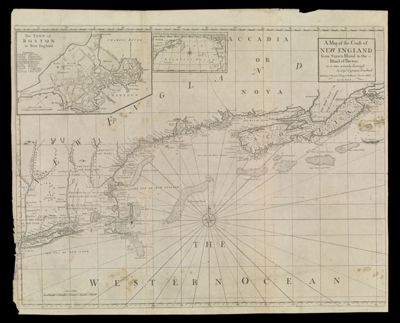
A Map of the Coast of New England from Staten Island to the Island of Breton as it was actualy Survey'd by Capt. Cyprian Southack
Collection: Smith Collection
Name: A Map of the Coast of New England from Staten Island to the Island of Breton as it was actualy Survey'd by Capt. Cyprian Southack
Barcode: 4739
From Atlas: Yes
Notes: Note below title: "Sold by I. Mount, T. Page & W. Mount. Tower Hill, London." From "The English Pilot, the Fourth Book" 1775-1794
Atlas Reference: The English Pilot, the Fourth Book, 1775-1794
Subjects: Array
Purveyor: W. & J. Mount & T. Page
Surveyor: Southack, Cyprian, 1662-1745
Date/Date Range Produced: 1775
Date/Date Range Published: 1775
Language: English
Region Depicted: MaineMaritime ProvincesMassachusettsNew EnglandNew HampshireNova Scotia
Map Type: Nautical charts
Dimensions: H 65.2 x W 80.5 cm
Printing Process: Engraving
Printing Technique: Copper
Material Type: Paper
LC Call Number: G3720 .S6 1775
OCLC: 226392400
Donor: Smith
Permenant URL: https://oshermaps.org/map/4739.0001