Collection: Shettleworth Collection
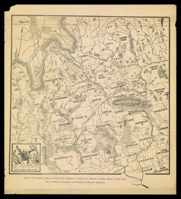
Name: Map of the Rangeley Lakes and Dead River Regions, as Reached via. Boston & Maine, Maine Central, Sandy River, Phillips & Rangeley and Franklin & Megantic Railroads.
Barcode:
Creator:
Date/Date Range Produced: 1920
Language:
Region Depicted:
Dimensions: 39 x 24 cm
Notes:
Accession Number: EGS-1920-162
Donor:
Permenant URL: