Collection: Osher Collection
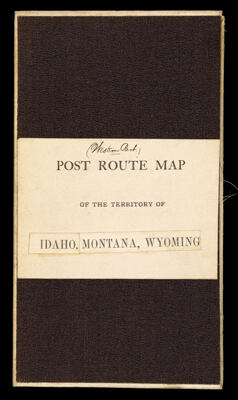
Name: Post route map of the territories of Montana, Idaho and Wyoming with parts of adjacent states and territories, showing post offices with the intermediate distances and mail routes published by order of Postmaster General Walter Q. Gresham under the direction of W.L. Nicholson, Topographer P.O. Dept.
Barcode:
Creator:
Date/Date Range Produced:
Date/Date Range Published:
Language:
Dimensions: folded to 22 x 18 cm.
Notes:
OCLC: 889348902
Accession Number: OS-1884-60
Donor:
Permenant URL: