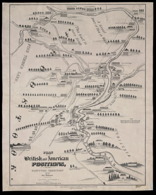
Plan of the British and American Positions, on the Disputed Territory by an eye witness.
Collection: Osher Collection
Name: Plan of the British and American Positions, on the Disputed Territory by an eye witness.
Barcode: 1024
Creator: Dearborn, Nathaniel, 1786-1852
Printmaker: Bouvé & Sharp
From Atlas: No
Publishing Location: Boston (Mass.)
Notes: Note below title:"Bouve & Sharp, Lithographers 221 Washington St. Boston. Published by N. Dearborn, 53 Washington Street." Note under map: "Entered according to act of congress in the year 1843 by Nathaniel Dearborn in the clerks office of the District court of Massachusetts."
Publisher: Dearborn, Nathaniel, 1786-1852
Date/Date Range Produced: 1843
Date/Date Range Published: 1843
Language: English
Region Depicted: Aroostook County, Maine
Map Type: Historical mapsThematic maps
Dimensions: 71 x 53 cm. on sheet 79 x 59 cm.
Printing Process: Lithograph
Printing Technique: Planar Surface
Material Type: Paper
LC Call Number:
OCLC: 46930814
Accession Number: OS-1843-11
Donor: Osher
Subjects: BorderlandsNortheast boundary of the United States
Permenant URL: https://oshermaps.org/map/1024.0001