Collection: Osher Collection
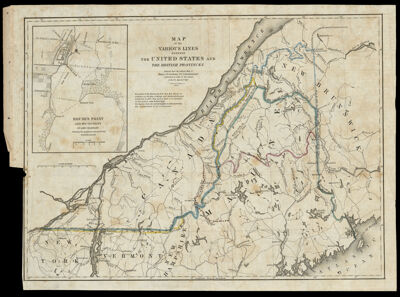
Name: Map of the Various Lines between the United States and the British Provinces Reduced from the Official Map of Major J.D. Graham U.S. Commissioner Published by Order of the Senate of the U.S. March 3d. 1843.
Barcode:
Creator:
Printmaker:
From Atlas:
Publishing Location:
Notes:
Date/Date Range Produced:
Date/Date Range Published:
Language:
Region Depicted:
Map Type:
Dimensions: H 31.8 x W 44.1 cm
Printing Process:
Printing Technique:
Material Type:
LC Call Number:
OCLC:
Donor:
Subjects:
Permenant URL: