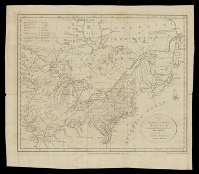
A Map of the Northern and Middle States; Comprehending the Western Territory and the British Dominions in North America from the best Authorities.
Collection: Smith Collection
Name: A Map of the Northern and Middle States; Comprehending the Western Territory and the British Dominions in North America from the best Authorities.
Barcode: 2041
Creator: Stockdale, John, 1749-1814
Notes: Notes below neat line: "Engraved for Morse's Geography published by J. Stockdale Jany. 25, 1792." "Engraved by G. Allen Sadlers, Wells Row, Islington"
Date/Date Range Produced: 1792
Date/Date Range Published: 1792
Language: English
Region Depicted: CanadaEastern United StatesLabrador, CanadaNova ScotiaSagadahoc County, Maine
Dimensions: H 38 X W 43.3 cm
Printing Process: Engraving
Printing Technique: Copper
Material Type: Paper
LC Call Number: G3300 .S8 1792
OCLC: 180093984
Donor: Smith
Permenant URL: https://oshermaps.org/map/2041.0001