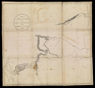
A Map of Mackenzie's track from Fort Chipewyan to the Pacific Ocean in 1793
Collection: Smith Collection
Name: A Map of Mackenzie's track from Fort Chipewyan to the Pacific Ocean in 1793
Barcode: 2083
Creator: Muir Mackenzie, Alexander, Sir, 1764-1835
From Atlas: No
Notes: "Published 15 Oct. 1801".
Publisher: Muir Mackenzie, Alexander, Sir, 1764-1835
Date/Date Range Produced: 1801
Date/Date Range Published: Oct 15th, 1801
Language: English
Region Depicted: AlbertaBritish ColumbiaColumbia RiverPeace River Valley, CanadaWestern Canada
Map Type: Geographical
Dimensions: H 58.5 x W 62.7 cm
Printing Process: Engraving
Printing Technique: Copper
Material Type: Paper
LC Call Number: G3466.S12 1801 .M21
OCLC: 50111930
Donor: Smith
Subjects: AlbertaBritish ColumbiaColumbia RiverExploration and discoveryFort Chipewyan (Alta.)Indians of North AmericaLakesMuir Mackenzie, Alexander, Sir, 1764-1835Native AmericansPeace River Valley (B.C. and Alta.)RiversWater trailsWestern, Canada
Permenant URL: https://oshermaps.org/map/2083.0001