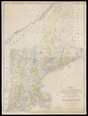
Map of Maine, New Hampshire, Vermont, Massachusetts, Rhode Island, and Connecticut. Exhibiting the Post Offices, Post Roads, Canals, Rail Roads, & c. By David H. Burr. (Late Topographer to the Post Office.) Geographer to the House of Representatives of the U.S.
Collection: Osher Collection
Name: Map of Maine, New Hampshire, Vermont, Massachusetts, Rhode Island, and Connecticut. Exhibiting the Post Offices, Post Roads, Canals, Rail Roads, & c. By David H. Burr. (Late Topographer to the Post Office.) Geographer to the House of Representatives of the U.S.
Barcode: 1005
Creator: Burr, David H., 1803-1875
Publishing Location: London, England
Notes: Note: "Entered according to the Act of Congress, July 10th, 1839, by David H. Burr, in the Clerk's Office of the District Court of the District of Columbia."From Burr's "The American Atlas" - London, J. Arrowsmith, 1839.
Date/Date Range Produced: 1839
Date/Date Range Published: 1839
Language: English
Region Depicted: CanadaConnecticutMaineMassachusettsNew EnglandNew HampshireRhode IslandVermont
Dimensions: H 126.5 x W 95 cm
Printing Process: Engraving
Printing Technique: Copper
Material Type: Paper
LC Call Number:
OCLC: 43589579
Donor: Osher
Subjects: CanalsConnecticutMaine--MapsMassachusettsMountainsNew EnglandNew HampshirePost OfficeRailroadsRhode IslandRivers and lakesVermont
Permenant URL: https://oshermaps.org/map/1005.0001