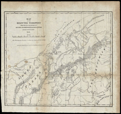
Map of the Disputed Territory reduced from the original of Messrs. Featherstonhaugh and Mudge British Commissioners 1839
Collection: Osher Collection
Name: Map of the Disputed Territory reduced from the original of Messrs. Featherstonhaugh and Mudge British Commissioners 1839
Barcode: 1013
Creator: Featherstonhaugh, James D.
Printmaker: Childs, J. (John)
From Atlas: No
Publishing Location: Washington D.C.
Notes: Note below scale: "Note the disputed Territory is within the limits A. B. X. C. Y. F. E." Note: "Lith. by John Childs 90 Nassau St. New York & Penns. Avenue Washington D.C."
Date/Date Range Produced: 1840
Date/Date Range Published: 1840
Language: English
Region Depicted: CanadaMaine
Map Type: Boundary mapsGeographicalPolitical maps
Dimensions: H 30.6 x W 32.8 cm
Printing Process: Lithograph
Printing Technique: Planar Surface
Material Type: Paper
LC Call Number:
OCLC: 865554424
Donor: Osher
Subjects: BorderlandsCanadaNew EnglandNortheast boundary of the United States
Permenant URL: https://oshermaps.org/map/1013.0001