Part of the United States, Lower Canada & New Brunswick.

Collection: Osher Collection

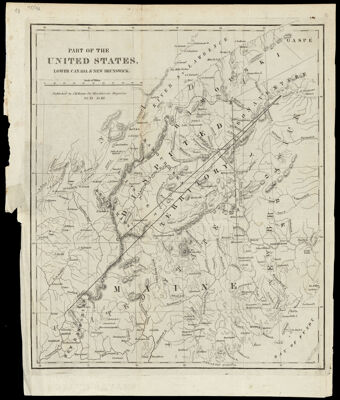
Name: Part of the United States, Lower Canada & New Brunswick.

Barcode: 1014

Creator: Blackwood's Edinburgh magazineMason, Jemima M.

From Atlas: No

Publishing Location: New York

Notes: Note below scale: "Published by J.M. Mason for Blackwood's Magazine, vol. XI, no. III."

Publisher: Mason, Jemima M.

Date/Date Range Produced: 1840

Date/Date Range Published: 1840

Language: English

Region Depicted: CanadaMaine

Map Type: Boundary mapsGeographical

Dimensions: H 35 x W 29.5 cm

Printing Process: Engraving

Printing Technique: Copper

Material Type: Paper

LC Call Number: G3705.F2 M37 1840

OCLC: 55153884

Donor: Osher

Subjects: BorderlandsCanadaNew EnglandNortheast boundary of the United States

Permenant URL: https://oshermaps.org/map/1014.0001