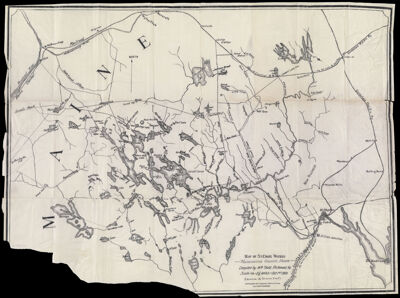
Map of St. Croix Waters Washington County, Maine
Collection: Osher Collection
Name: Map of St. Croix Waters Washington County, Maine
Barcode: 1311
Creator: Todd, William
Printmaker: Shaylor Eng. Co.
From Atlas: No
Notes: Under title: "Copyrighted by P.E. Boothby-Portland, Maine. All Rights Reserved." Engraved by Shaylor Eng. Co.
Publisher: Boothby, Frederic E. (Frederic Eleazer), 1845-1923
Date/Date Range Produced: 1900
Date/Date Range Published: 1900
Language: English
Region Depicted: Washington County, Maine
Map Type: Geographical
Dimensions: H 54 x W 71.5 cm
Material Type: Paper
LC Call Number: G3732 .S245 1900
OCLC: 54902348
Donor: Osher
Subjects: Aroostook County (Me.)LakesMaine--MapsMountainsPenobscot County (Me.)RailroadsRiversSaint Croix River (Me. and N.B.)Washington County (Me.)Waterways
Permenant URL: https://oshermaps.org/map/1311.0001