Collection: Osher Collection
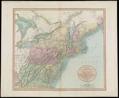
Name: A New Map of Part of the United States of North America, Containing Those of New York, Vermont, New Hampshire, Massachusetts, Connecticut, Rhode Island. Pennsylvania, New Jersey, Delaware, Maryland and Virginia. From the Latest Authorities. By John Cary, Engraver. 1806.
Barcode:
Creator:
Notes:
Date/Date Range Produced:
Date/Date Range Published:
Language:
Dimensions: H 53.8 x W 65.1 cm
Printing Process:
Printing Technique:
Material Type:
LC Call Number: G3731 .C3 1806
OCLC: 43225311
Donor:
Permenant URL: