Collection: Osher Collection
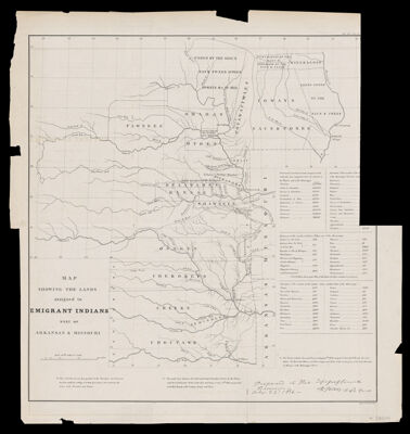
Name: Map showing the lands assigned to emigrant Indians west of Arkansas & Missouri prepared at the Topographical Bureau, R. Jones, adj. gen.
Barcode:
Publishing Location:
Publisher:
Date/Date Range Published:
Language:
Map Type:
Dimensions: H 48 x W 45 cm
Printing Process:
LC Call Number: G4501.E1 1860 U5
OCLC: 1129587646
Permenant URL: