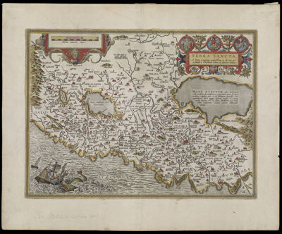
Terra sancta a Petro Laicstain perlustrata, et ab cius ore et schedis a Christiano Schrot in tabulam redacta.
Collection: Smith Collection
Name: Terra sancta a Petro Laicstain perlustrata, et ab cius ore et schedis a Christiano Schrot in tabulam redacta.
Barcode: 1681
Creator: Schrot, Christiano, approximately 1532-1608
From Atlas: Yes
Publishing Location: Antwerp
Notes: Verso: Description of map in Latin.
Publisher: Ortelius, Abraham, 1527-1598
Date/Date Range Produced: 1603
Date/Date Range Published: 1603
Language: Latin
Region Depicted: Holy LandIsraelPalestineSouthwest Asia
Map Type: GeographicalHistorical maps
Dimensions: 37 x 51 cm on sheet 49.2 x 50.2 cm
Printing Process: Engraving
Printing Technique: Copper
Material Type: Paper
LC Call Number: G7481.3 .S3 1603
OCLC: 58437053
Donor: Smith
Subjects: Bible storiesBirdsCartouches, Ornamental (Decorative arts)FlowersFruitHoly LandImaginary creaturesIsraelJesus ChristJonah and the whaleMiddle EastPalestineplantsReligionSea monstersStrapwork
Permenant URL: https://oshermaps.org/map/1681.0001