Collection: Osher Collection
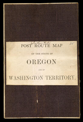
Name: Post route map of the state of Oregon and of Washington Territory.
Barcode:
Date/Date Range Produced:
Date/Date Range Published:
Language:
Dimensions: folded to 21 x 14 cm
Notes:
OCLC: 889346863
Accession Number: OS-1889-64
Donor:
Permenant URL: