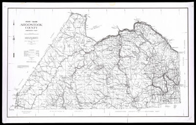
State of Maine Aroostook County, Northern Part
Collection: Osher Collection
Name: State of Maine Aroostook County, Northern Part
Barcode: 1603
Creator: Prentiss & Carlisle Co.
From Atlas: No
Publishing Location: Bangor, ME
Notes: No envelope. Note: "Compiled from Prentiss & Carlisle Co. Inc. Surveys-U.S.G.S.-and information on file"
Publisher: Prentiss & Carlisle Co.
Surveyor: Atwood, Paul E. (Paul Elliot)
Date/Date Range Produced: 1976
Date/Date Range Published: 1976
Language: English
Region Depicted: Aroostook County, Maine
Map Type: GeographicalPolitical maps
Dimensions: 60 x 99 cm. on sheet 66 x 104 cm.
Material Type: Paper
LC Call Number:
OCLC:
See Also: State of Maine Aroostook County, Southern Part
Donor: Osher
Subjects: Aroostook County (Me.)Geological Survey (U.S.)Maine--MapsPrentiss & Carlisle Co.
Permenant URL: https://oshermaps.org/map/1603.0001