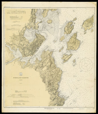
Portland Harbor Maine
Collection: Osher Collection
Name: Portland Harbor Maine
Barcode: 1419
Creator: U.S. Coast and Geodetic Survey
From Atlas: No
Publishing Location: Washington D.C.
Notes: Note below neat line: "Published at Washington D.C. July 1913; reissued Apr. 1917 by the U.S. Coast and Geodetic Survey E. Lester Jones Superintendent." Note above neat line "No. 325 Price 40 Cents."
Publisher: U.S. Coast and Geodetic Survey
Date/Date Range Produced: 1918
Date/Date Range Published: 1918
Language: English
Region Depicted: Cape Elizabeth, MaineCasco Bay, MainePortland Harbor, MaineSouth Portland, Maine
Map Type: Nautical charts
Dimensions: H 74 x W 67 cm
Material Type: Paper
LC Call Number:
OCLC: 851191718
Donor: Osher
Subjects: Cape Elizabeth (Me.)Casco Bay (Me.)CoastsHarborsIslandsMaine--MapsNautical chartsPortland (Me.)Portland Harbor, MaineSouth Portland (Me.)U.S. Coast and Geodetic Survey
Permenant URL: https://oshermaps.org/map/1419.0001