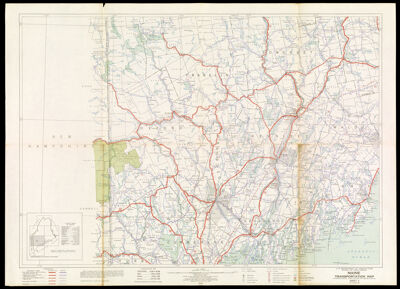
Maine transportation map : highways, railroads, canals, air lanes, and dredged channels
Collection: Osher Collection
Name: Maine transportation map : highways, railroads, canals, air lanes, and dredged channels
Barcode: 46228
Creator: United States. Department of Agriculture
Publisher: United States. Public Roads Administration
Date/Date Range Produced: 1936
Date/Date Range Published: 1936
Region Depicted: Androscoggin County, MaineCumberland County, MaineFranklin County, MaineKennebec County, MaineKnox County, MaineLincoln County, MaineMaineOxford County, MaineSagadahoc County, MaineSomerset County, MaineWaldo County, Maine
Notes: Published 1921, 1925
OCLC: 55093128
Accession Number: OS-1936-37.5
Donor: Osher
Permenant URL: https://oshermaps.org/map/46228.0001