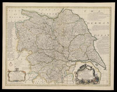
An Accurate map of the county of York divided into its ridings and subdivided into wapontakes drawn from surveys with various improvements shewing also by concentrick circles, the distances of all places in the country from the city of York
Collection: Textile Museum Collection
Name: An Accurate map of the county of York divided into its ridings and subdivided into wapontakes drawn from surveys with various improvements shewing also by concentrick circles, the distances of all places in the country from the city of York
Barcode: 50786
Creator: Bowen, Emanuel, 1693 or 1694-1767
Publisher: Hinton, John, -1781
Publishing Location: London, England
Notes: Bowen, along with Thomas Kitchin prepared large scale county maps commissioned by John Hinton. Published in 1749 as individual maps, the plates were sold to John Tinney around 1762. Prior to this sale, several map and atlas publishers such as Thomas Bowles, Robert Sayer published "Large English Atlas" with a complete set of maps in 1760.
Date/Date Range Published: 1750
Language: English
Dimensions: 53 x 72 cm
LC Call Number: G5753.Y6 1750 B6
OCLC: 1030582720
Accession Number: ATH-1750-27
Donor: American Textile History Museum
Permenant URL: https://oshermaps.org/map/50786.0001