Collection: Osher Collection
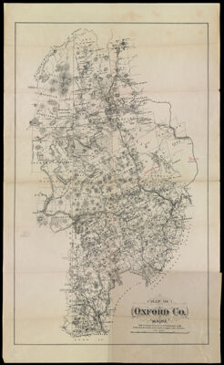
Name: Map of Oxford Co. Maine. With portions of Coos Co. N.H. & Franklin Co. Me. & showing the whole of the Androscoggin Lake District.
Barcode:
Creator:
Publishing Location:
Notes:
Publisher:
Date/Date Range Produced:
Date/Date Range Published:
Language:
Region Depicted:
Dimensions: 11890.0001: H 71.4 x W 43.3 cm
11890.0002: H 22 x W 18.2 cm
LC Call Number: G3731.08.1895
OCLC: 54524904
Donor:
Permenant URL: