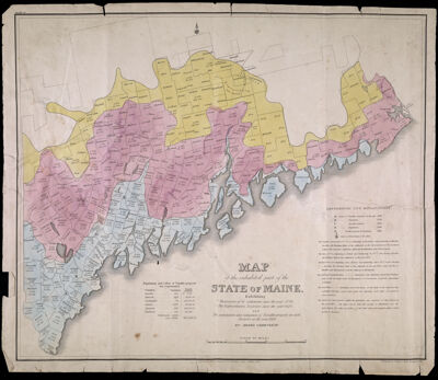
Map of the Inhabited Part of the State of Maine Exhibiting the progress of its settlement since 1778, The Representative Districts since 1820, and The population and valuation of Taxable property in each District at the year 1820. By Moses Greenleaf.
Collection: Osher Collection
Name: Map of the Inhabited Part of the State of Maine Exhibiting the progress of its settlement since 1778, The Representative Districts since 1820, and The population and valuation of Taxable property in each District at the year 1820. By Moses Greenleaf.
Barcode: 11905
Creator: Chapin, William, 1802-1888Greenleaf, Moses, 1777-1834
Publishing Location: Portland, ME
Notes: Notes below neat line: "Engraved by William Chapin, N.Y. for Greenleaf's survey of Maine 1828." "Published by Shirley & Hyde, Portland, 1829."Note above neat line: "Plate VI."From: "Atlas accompanying Greenleaf's Map and Statistical Survey of Maine."
Publisher: Shirley & Hyde
Date/Date Range Produced: 1829
Date/Date Range Published: 1829
Language: English
Region Depicted: Maine
Dimensions: x
LC Call Number:
OCLC: 174052280
Donor: Osher
Permenant URL: https://oshermaps.org/map/11905.0001