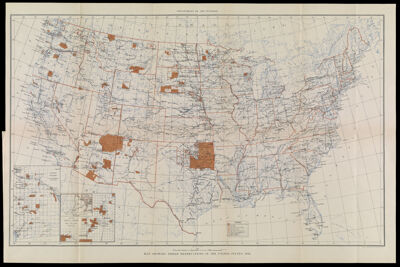
Map showing Indian Reservations in the United States, 1916
Collection: Osher Collection
Name: Map showing Indian Reservations in the United States, 1916
Barcode: 37299
Creator: United States. Department of the Interior
Printmaker: U.S. Coast and Geodetic Survey
Publishing Location: Washington D.C.
Notes: Inset maps: "Mission Indian Res. In California" "Indian Pueblo Grants in New Mexico," "Northeastern Oklahoma." Map originally bound in: Annual report of the Department of the Interior.
Publisher: United States. Department of the Interior
Date/Date Range Produced: 1916
Date/Date Range Published: 1916
Language: English
Region Depicted: United States
Map Type: GeographicalPolitical maps
Dimensions: H 43 x W 65 cm
Printing Process: Lithograph
Printing Technique: Stone
Material Type: Paper
LC Call Number:
OCLC: 173147402
Donor: Osher
Permenant URL: https://oshermaps.org/map/37299.0001