Collection: Osher Collection
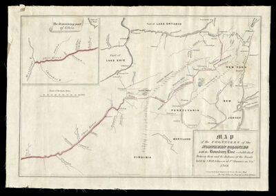
Name: Map of the Frontiers of the Northern Colonies with boundary line established between them and the Indians at the Treaty held by S. Will Johnson at Ft. Stanwix in Novr. 1768.
Barcode:
Creator:
Publishing Location:
Notes:
Date/Date Range Produced:
Date/Date Range Published:
Language:
Dimensions:
Printing Process:
Printing Technique:
Material Type:
LC Call Number:
OCLC: 710365849
Donor:
Permenant URL: