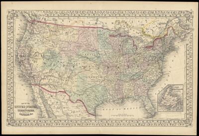
Map of the United States, and Territories. Together with Canada &c.
Collection: Story Collection
Name: Map of the United States, and Territories. Together with Canada &c.
Barcode: 2302
Creator: Williams, W. (Wellington)
Printmaker: Williams, W. (Wellington)
Publisher: Mitchell, S. Augustus, Jr. (Samuel Augustus)
Publishing Location: Philadelphia
Notes: Inset map of the island of Newfoundland
Note: "Constructed & Engraved by W. Williams Philadelphia."
Note below neat line: "Entered according to Act of Congress in the year 1867 by S. Augustus Mitchell, Jr. in the Clerks Office of the District Court for the Eastern District of Pennsylvania"
Date/Date Range Produced: 1867
Language: English
Dimensions: 33 x 51
LC Call Number: G3700 .M5 1867
OCLC: 55943966
Accession Number: ST-1867-9
Donor: Story
Permenant URL: https://oshermaps.org/map/2302.0001