Collection: Story Collection
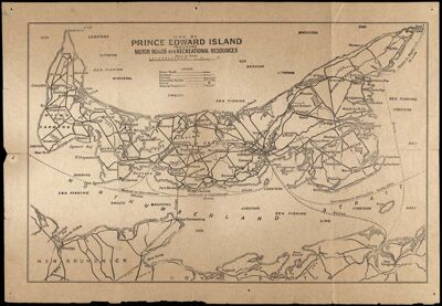
Name: Map of Prince Edward Island Indicating Motor Roads and Recreational Resources
Barcode:
From Atlas:
Date/Date Range Produced:
Date/Date Range Published:
Language:
Region Depicted:
Map Type:
Dimensions: 24 x 37 cm.
Material Type:
LC Call Number: G3441.P2 1925
OCLC: 57045701
Accession Number: ST-1925-28
Donor:
Subjects:
Permenant URL: