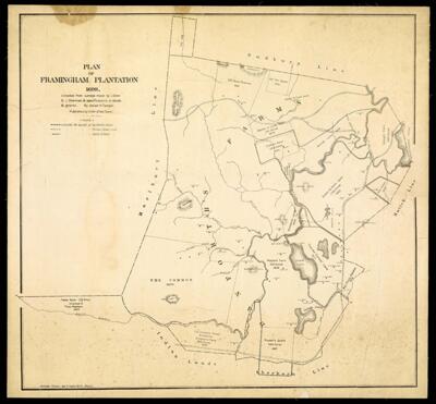
Plan of Framingham Plantation 1699 : compiled from surveys made by J. Gore & J. Sherman & specifications in deeds & grants by Josiah H. Temple published by order of the town
Collection: Story Collection
Name: Plan of Framingham Plantation 1699 : compiled from surveys made by J. Gore & J. Sherman & specifications in deeds & grants by Josiah H. Temple published by order of the town
Barcode: 4764
Creator: James R. Osgood and CompanyTemple, Josiah H.
Publishing Location: Framingham, MA
Notes: Facsimile of the 1699 plan. Approximate date is 1870. James R. Osgood & Co. was using the heliotype process indicated on the map.
Date/Date Range Produced: 1699
Language: English
Region Depicted: Framingham, Massachusetts
Dimensions: 62 x 65
LC Call Number: G3761.B5 T4
OCLC: 57045691
Accession Number: ST-1699-3
Donor: Story
Permenant URL: https://oshermaps.org/map/4764.0001