Collection: Smith Collection
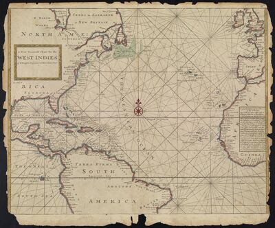
Name: A new Generall Chart for the West Indies of E. Wright's projection vul. Mercators Chart
Barcode:
Creator:
Date/Date Range Produced: 1716 - 1721
Language:
Dimensions: 45 x 56
Printing Process:
Printing Technique:
Material Type:
Notes:
LC Call Number: G4900 .M6 1721
OCLC: 173315001
Accession Number: SM-1721-9
Donor:
Permenant URL: