Collection: Smith Collection
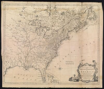
Name: A New and Accurate Map of the British Dominions in America, according to the Treaty of 1763 Divided into the several Provinces and Jurisdictions. Projected upon the best Authorities and Astronomical Observations. By Thos. Kitchin, Geographer.
Barcode:
Creator:
Date/Date Range Produced:
Date/Date Range Published:
Language:
Dimensions: 53 x 62
Printing Process:
Printing Technique:
Material Type:
Notes:
LC Call Number: G3300 .K5 1763
OCLC: 173319131
Accession Number: SM-1763-11
Donor:
Permenant URL: