Collection: Story Collection
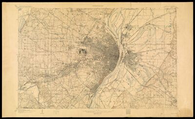
Name: Missouri-Illinois, Saint Louis quadrangle / U.S. Geological Survey ; H.M. Wilson, geographer ; Chas. E. Cooke, topographer in charge ; topography by Chas. E. Cooke, Wm. O. Tufts, Gilbert Young, and City of St. Louis ; control by U.S.C. and G.S. and Geo. T. Hawkins
Barcode:
Date/Date Range Produced: 1912
Accession Number: ST-1912-65
Donor:
Permenant URL: