Collection: Stephenson Collection
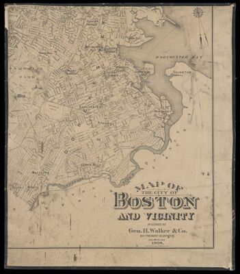
Name: Map of the city of Boston and vicinity
Barcode:
Publisher:
Date/Date Range Produced:
Date/Date Range Published:
Dimensions: Each map approx. H 91 x W 78 cm Maps joined: H 182 x W 157 cm
Notes:
LC Call Number: G3764.B6 1897 .W3
OCLC: 1037493334
Accession Number: STE-1897-65
Donor:
Permenant URL: