Collection: Textile Museum Collection
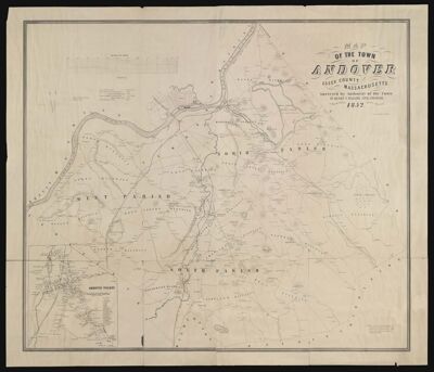
Name: Map of the town of Andover, Essex County, Massachusetts surveyed by authority of the town by Henry F. Walling
Barcode:
Surveyor:
Publishing Location:
Notes:
Date/Date Range Published: 1852
Language:
Map Type:
Dimensions: 91 x 107 cm
LC Call Number: G3764.A62 1852.W3
OCLC: 40836458
Accession Number: ATH-1852-51
Donor:
Permenant URL: