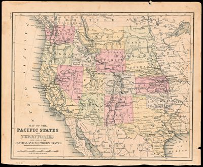
Map of the Pacific States and Territories with a Part of the Central and Southern States
Collection: Story Collection
Name: Map of the Pacific States and Territories with a Part of the Central and Southern States
Barcode: 12636
From Atlas: Yes
Notes: To left of neat line: "Page 49"
Date/Date Range Produced: 1885
Language: English
Region Depicted: ArizonaCaliforniaColoradoIdahoKansasMontanaNebraskaNew MexicoNorth DakotaOklahomaOregonSouth DakotaTexasUtahWashington (State)Western United StatesWyoming
Map Type: Political maps
Dimensions: 24.5 x 29.5 cm
Printing Process: Lithograph
Material Type: Paper
LC Call Number:
OCLC:
Donor: Story
Permenant URL: https://oshermaps.org/map/12636.0001; 12636.0002