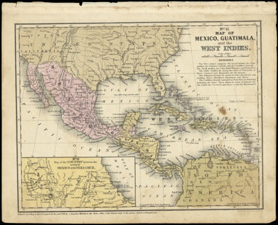
Map of Mexico, Guatimala, and the West Indies
Collection: Story Collection
Name: Map of Mexico, Guatimala, and the West Indies
Barcode: 12641
Creator: Young, J. H. (James Hamilton)
Printmaker: Young, J. H. (James Hamilton)
Notes: No. 15; Inset: No. 16 : map of the country between the cities of Mexico and Vera CruzNote below neat line: "Entered according to Act of Congress in the year 1849, by S. Augustus Mitchell, in the Clerk's Office of the District Office of the eastern district of Pennsylvania."
Publisher: Mitchell, S. Augustus (Samuel Augustus), 1792-1868
Date/Date Range Produced: 1849
Language: English
Region Depicted: Caribbean regionCentral AmericaWest Indies
Dimensions:
Printing Process: Engraving
Printing Technique: Steel
Material Type: Paper
LC Call Number:
OCLC:
Donor: Story
Permenant URL: https://oshermaps.org/map/12641.0001