Collection: Textile Museum Collection
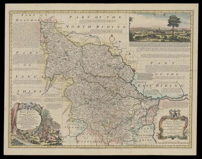
Name: An Accurate map of the West Riding of York Shire divided into its Wapontakes drawn from surveys with various additional improvements illustrated with historical extracts relative to its natural produce, mines, minerals, manufactures, trade and the present
Barcode:
Publisher:
Publishing Location:
Date/Date Range Published: 1750
Language:
Map Type:
Dimensions: 53 x 72 cm
LC Call Number: G5753.Y6:3W4 1750 B6
OCLC: 1032335392
Accession Number: ATH-1750-28
Donor:
Permenant URL: