Collection: Smith Collection
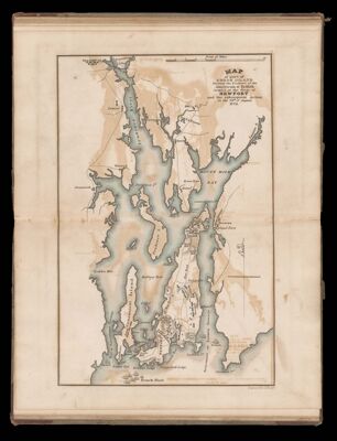
Name: Map of part of Rhode Island shewing the positions of the American & British armies at the siege of Newport and the subsequent action on the 29th of August 1778
Barcode:
Content:
Region Depicted:
Dimensions: 29 x 22.2 cm
Permenant URL: