Collection: Osher Map Library Collection
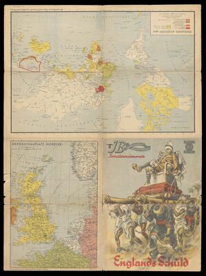
Name: Englands schŭld
Barcode:
Creator:
Publishing Location:
Date/Date Range Published: 1939
Language:
Region Depicted:
Map Type:
Dimensions: 73 x 52 cm folded to 37 x 28 cm
LC Call Number: G3201.F33 1939 L3
OCLC: 1280683102
Accession Number: OML-1939-193
Subjects:
Permenant URL: