Collection: Osher Map Library Collection
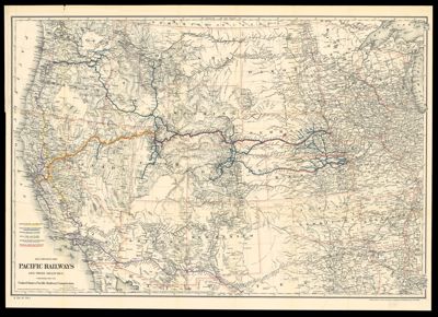
Name: Map showing the Pacific Railways and their branches
Barcode:
Publishing Location:
Publisher:
Date/Date Range Published:
Language:
Region Depicted:
Map Type:
Dimensions: 56 x 84 cm
LC Call Number: G4051.P3 1887.G9
OCLC: 39681759
Subjects:
Permenant URL: