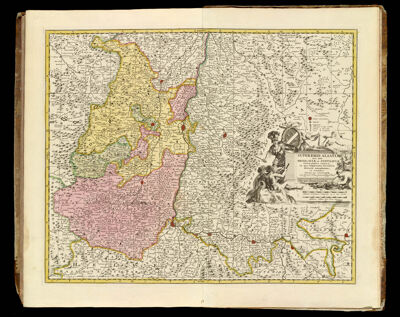
Superioris Alsatiae nec non Brisigaviae et Suntgaviae geographica tabula, in qua subjacentia territoria distincte ostenduntur. || Alsace, that is a geographic map of Breisgau and Sundgau, insofar as the distinct territories lying there are shown.
Collection: Smith Collection
Name: Superioris Alsatiae nec non Brisigaviae et Suntgaviae geographica tabula, in qua subjacentia territoria distincte ostenduntur. || Alsace, that is a geographic map of Breisgau and Sundgau, insofar as the distinct territories lying there are shown.
Barcode: 14000
Creator: Homann Erben (Firm)Schenk, Petrus, 1693-1775Visscher, Nicolaes, 1618-1679
Date Created: 1750
Date Published: 1750
Printing Technique: Copper
Notes: Color outline and wash.
Permenant URL: https://oshermaps.org/map/14000.0334c