Collection: Story Collection
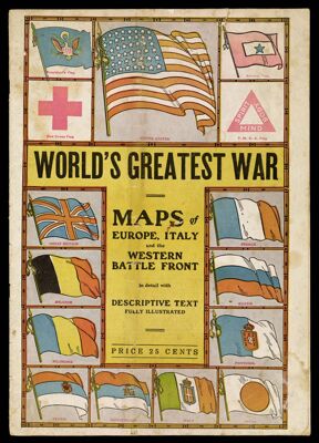
Name: World's Greatest War Maps of Europe, Italy and the Western Battle Front in detail with descriptive text, fully illustrated
Barcode:
Author:
Date Produced:
Date Published:
Language:
Dimensions: 38 cm
Physical Description: 12 pages: illustrated, maps, some colored
Notes:
LC Call Number: G3201.S65 W92
OCLC: 36174832
Accession Number: ST-1918-19
Donor:
Permenant URL: