Collection: Story Collection
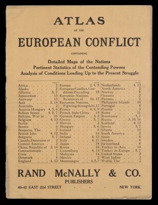
Name: Atlas of the European conflict, containing detailed maps of the nations, pertinent statistics of the contending powers, analysis of conditions leading up to the present struggle
Barcode:
Publishing Location:
Publisher:
Date Produced:
Date Published:
Language:
Dimensions: 35 x 28
Physical Description: 14, 3 unnumbered pages (includes cover) : color maps ; 36 cm
LC Call Number: G1795.S65 .R3 1914
OCLC: 6836099
Accession Number: ST-1914-76
Donor:
Permenant URL: